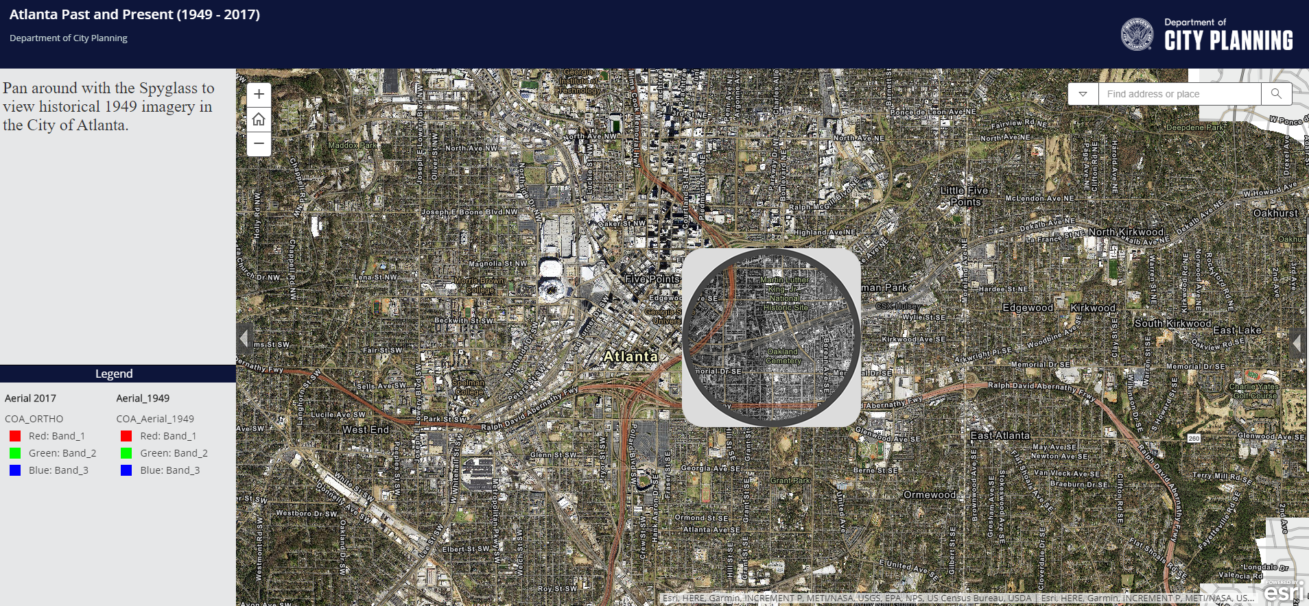
“Atlanta Past and Present (1949-2017)” is a nifty web mapping application that couples current aerial imagery of the city with historical imagery from 1949. When users land on the page, they get a bird’s-eye (or is that satellite’s-eye?) view of downtown with a spyglass function that reveals what had been in the location in 1949. You can zoom in, pan around and drag the spyglass over different points of interest.
Using the spyglass, downtown’s tall buildings and the shadows they cast vanish to reveal our lower-profile buildings of yesteryear. Newer housing disappears to reveal stands of trees, and the wide expanses of rooftops forming our shopping centers give way to small homes, trees and, here and there, what looks to be cleared land hinting at what we see today.
Click here or on the image below to take a look at how much things have changed in less than 70 years.