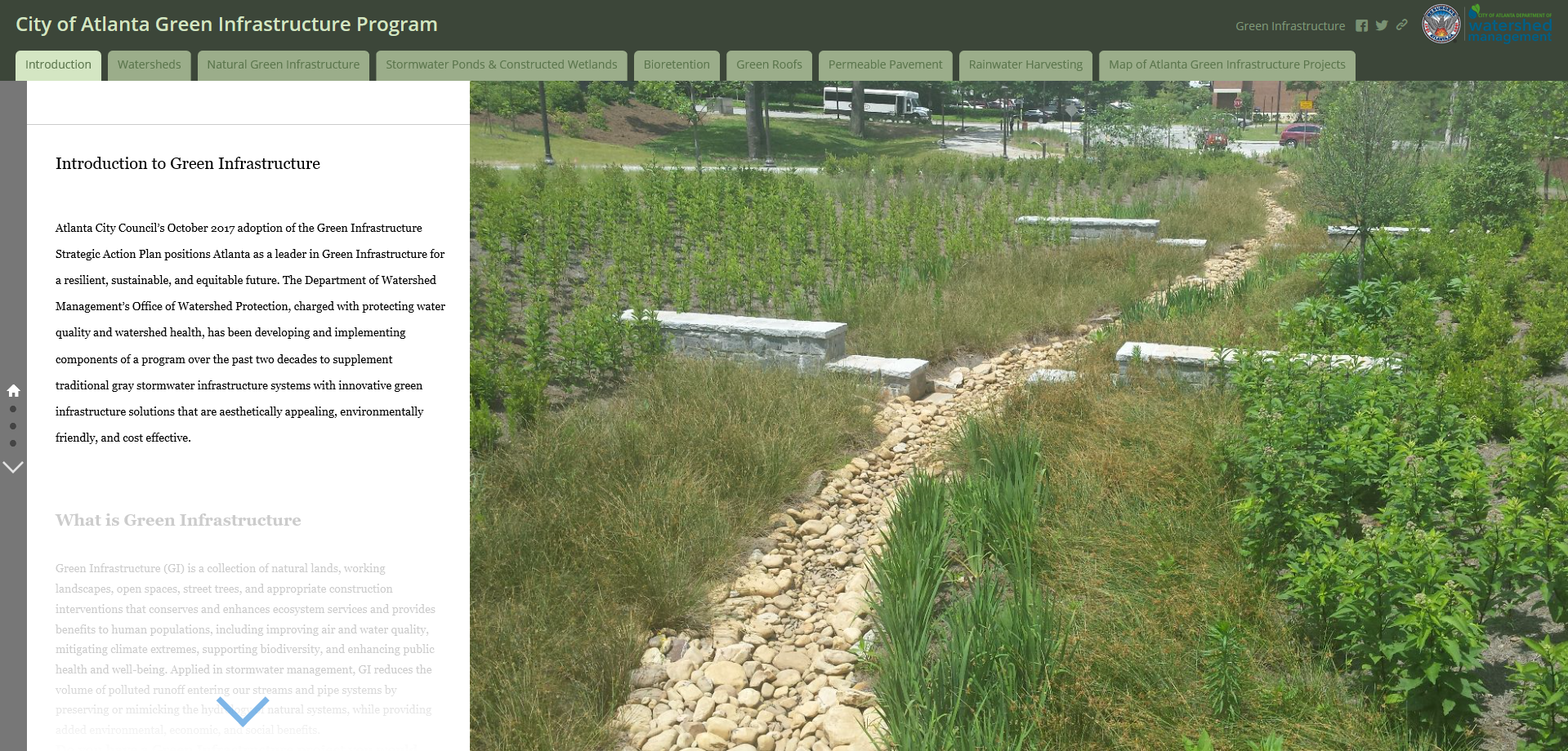
Maps can be a wonderful way to better understand the world around us (hence our Monday Mapdays). Sometimes they can tell us stories on their own, but other times they are part of a bigger story that needs a bit more context. The City of Atlanta’s Green Infrastructure Story Map provides an excellent, visually captivating example of how focused storytelling, vivid photography and illustrations, and data maps can come together to help us better understand where we live.
Green infrastructure references a collection of natural and occasionally man-made features that work together to support everything from our air and water quality to supporting biodiversity, and the City of Atlanta aims to use more green infrastructure to tackle its unique environmental challenges. The story map takes readers through key features of the city’s green infrastructure plan, including:
- Watersheds
- Natural Green Infrastructure
- Stormwater Ponds & Constructed Wetlands
- Bioretention (planted landscapes)
- Green Roofs
- Permeable Pavement
- Rainwater Harvesting
- Green Infrastructure Projects
Click here or on the image below to take a look at the story map and learn how natural features are becoming an important component of the city’s infrastructure.