Atlanta is famously the city in the forest, with our urban areas surrounded by a surprising amount of old growth trees that managed to escape the rampant logging of the 1800s. Ironically, mid-century development trends, as well as a disinterest in building in more difficult tracts of land, also helped preserve the forest. In some ways, things haven’t changed that much: City and county ordinances guiding development today serve, Lorax-like, to speak for the trees and protect them from excessive deforestation.
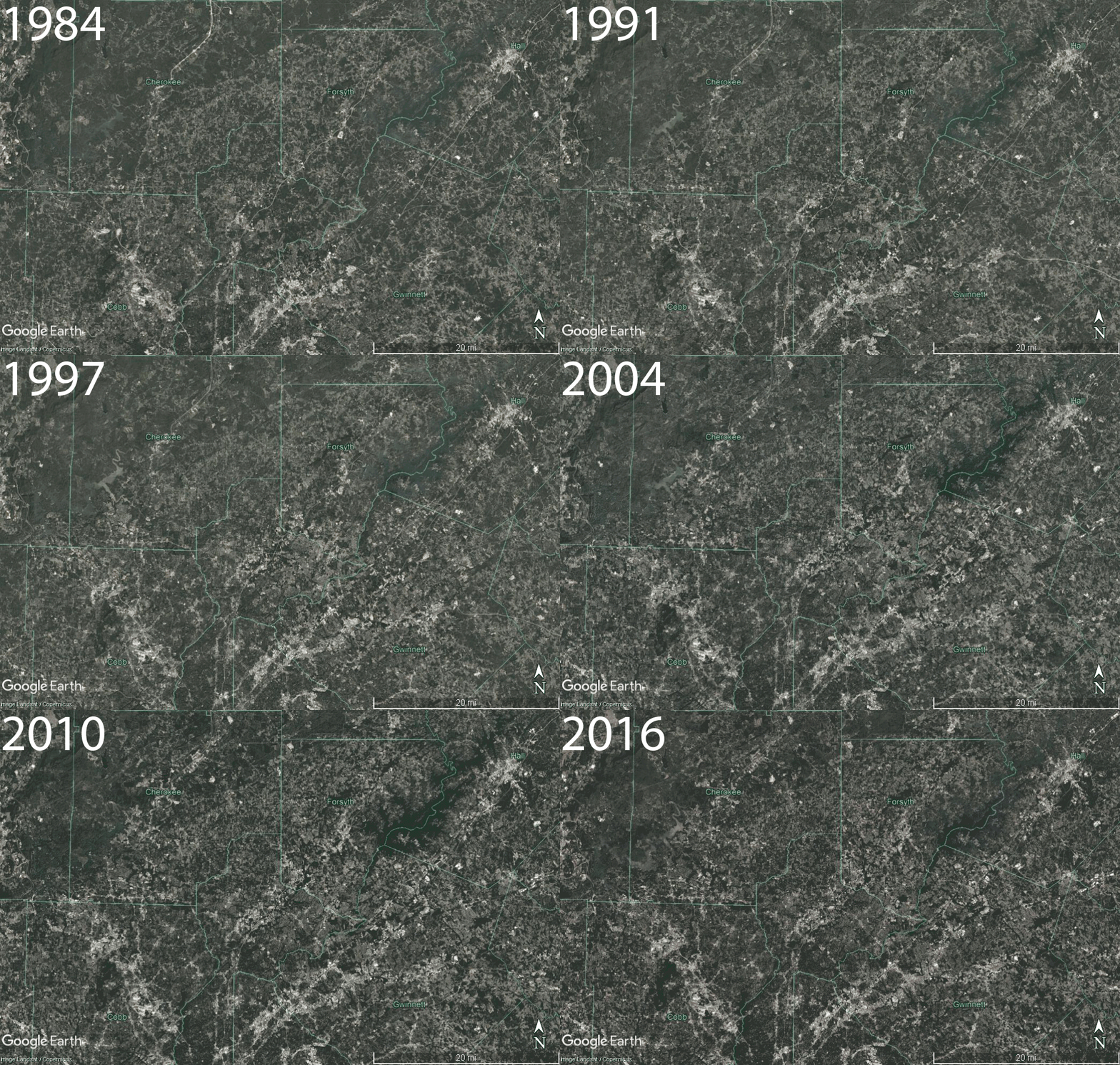
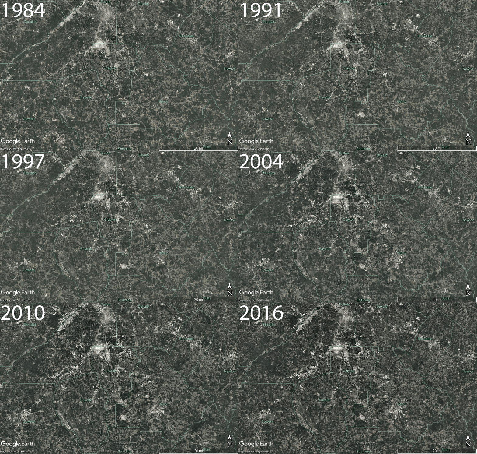
However, growth in the Atlanta region has still affected its tree canopy over time. Using satellite imagery taken by the United States Geological Survey (USGS) Landsat Project viewed via Google Earth Pro, we visualized these changes through a GIF showing an aerial view of the Atlanta region between 1984 and 2016. Watch as the amount of developed land grows over time in the northern part of the 10-county Atlanta metro area (shown in the first GIF) and the southern part of the metro area (shown in the second GIF).
North Atlanta Growth, 1984-2016

South Atlanta Growth, 1984-2016

Areas shaded in green represent tree canopy and other vegetation, while lighter shading indicates urbanized land use, though there is some variation due to sunlight and other environmental conditions over time.
The City of Atlanta has invested in studying and understanding its tree canopy. To learn more, visit Georgia Tech’s suite of visualizations and studies on the city’s urban forest. Currently, the City of Atlanta is reviewing and making changes to its tree ordinance as part of the Department of City Planning’s Urban Ecology Framework. So channel your inner Lorax and speak for the trees by attending a public meeting. Happy Earth Day!

